Ela Tripo - Offbeat on Point
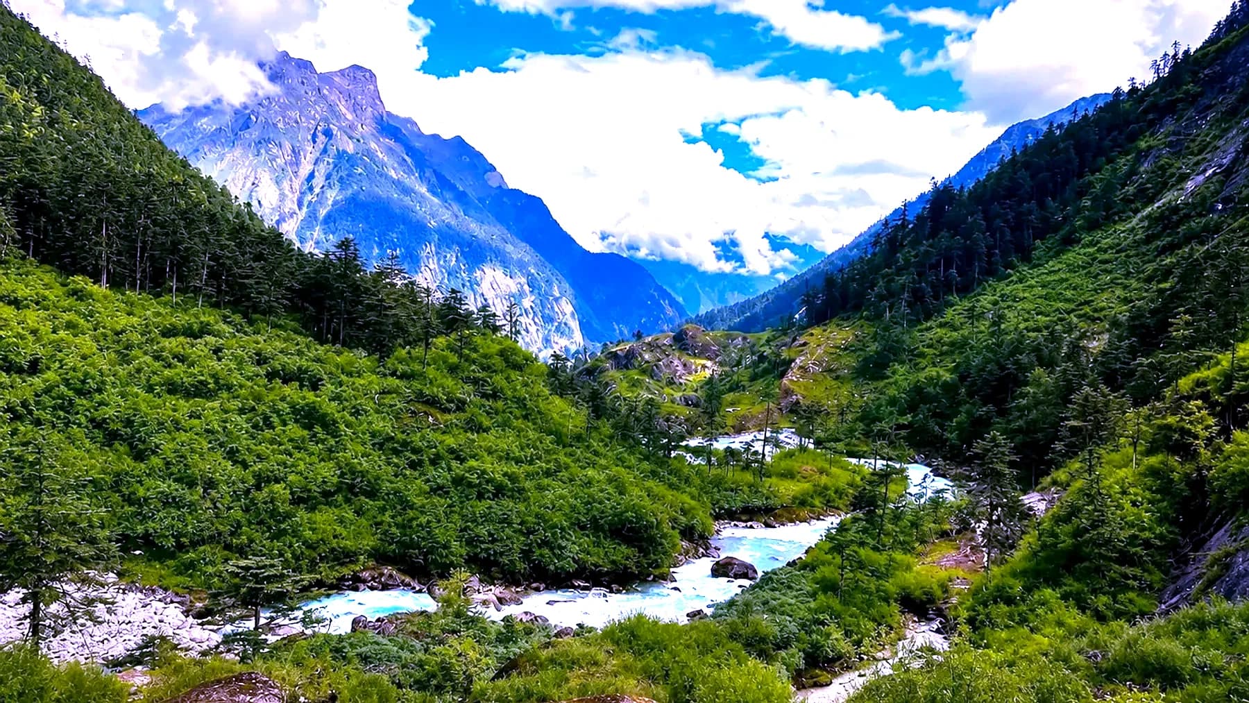
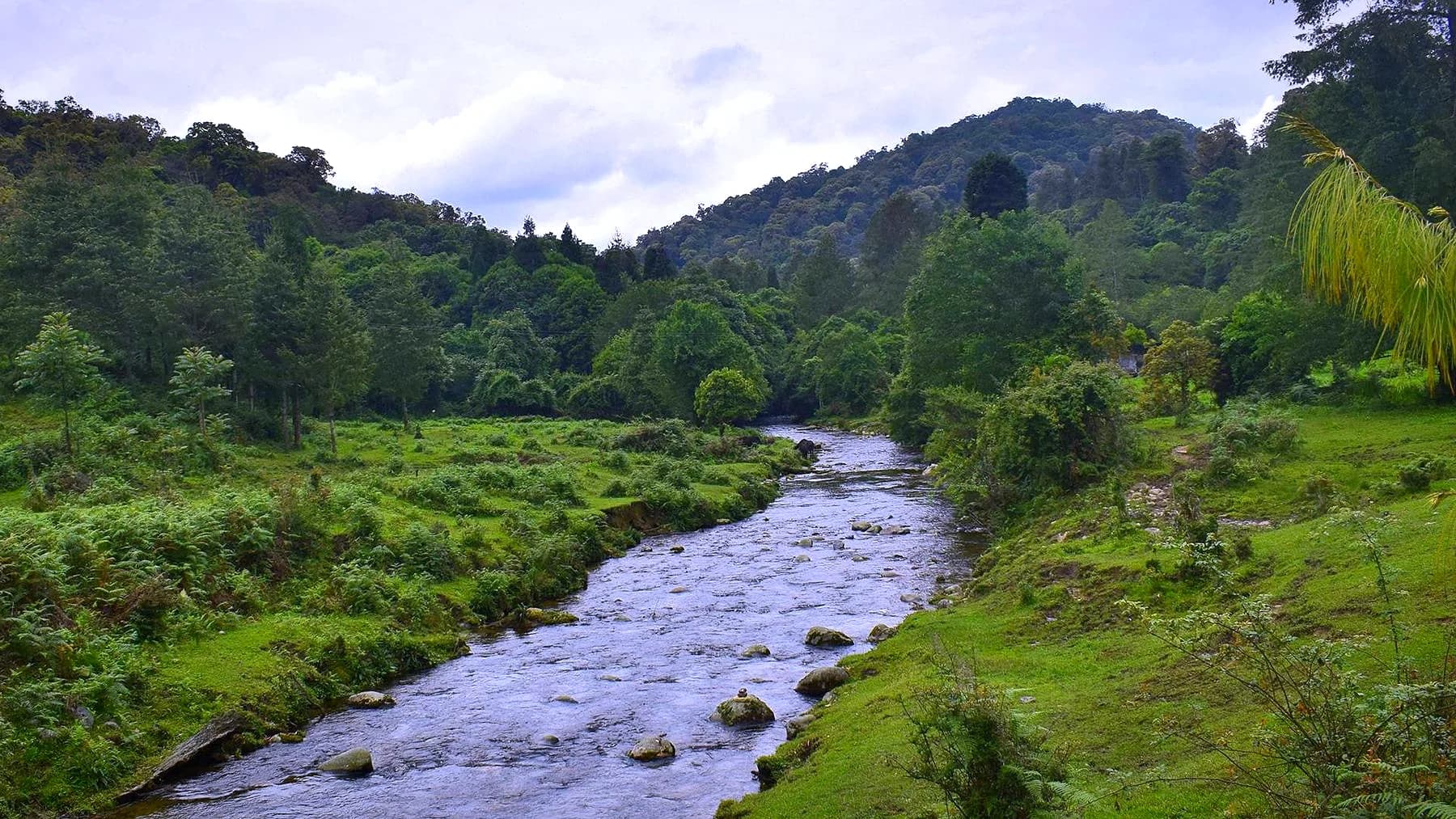
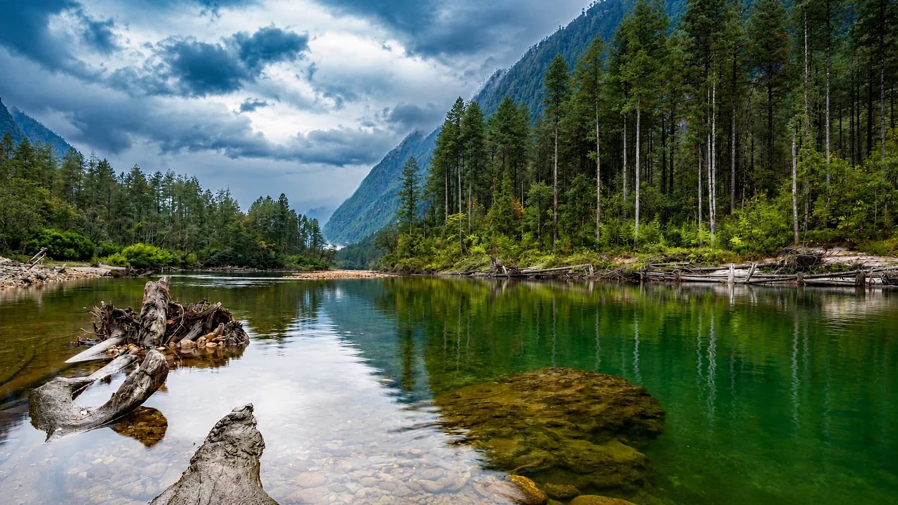
A clear green river pool below steep conifer forest in the Dibang valley, Arunachal Pradesh, under heavy cloud
All four states

The high frontier

Arunachal Pradesh

A river pool in the Dibang valley, Arunachal Pradesh

Season
October – April, and March – June for the high passes
Permits
Inner Line Permit; extra clearance for border points
Highest point
4,633 m
Places in this guide
10

The high frontier

Arunachal Pradesh is the largest state in the North-East and, by a wide margin, the least travelled. It shares borders with Bhutan, Tibet and Myanmar, holds more than twenty-five major tribes speaking over ninety languages between them, and contains terrain that runs from wet lowland forest at two hundred metres to permanent snow above four and a half thousand.

What that means in practice is that no two valleys here feel alike. The Monpa around Tawang are Buddhist and look west to Bhutan and Tibet. The Apatani at Ziro farm rice and fish in the same flooded field. The Idu Mishmi in Dibang keep a shamanic tradition with no written scripture. The Konyak-adjacent Wancho in the far east were, within living memory, a different world again.

Every route in the state needs an Inner Line Permit, and the border sectors — Bumla, Walong, Kibithu — need clearances beyond that. Roads are the real constraint rather than distance: two hundred kilometres can take nine hours, and the monsoon closes several of them entirely. We plan around that rather than pretending otherwise.

The main stops

Where most journeys go

These are the places that carry a first visit. Well known for good reason, and every one of them worth the time.

01

Tawang

Tawang district · 3,048 m

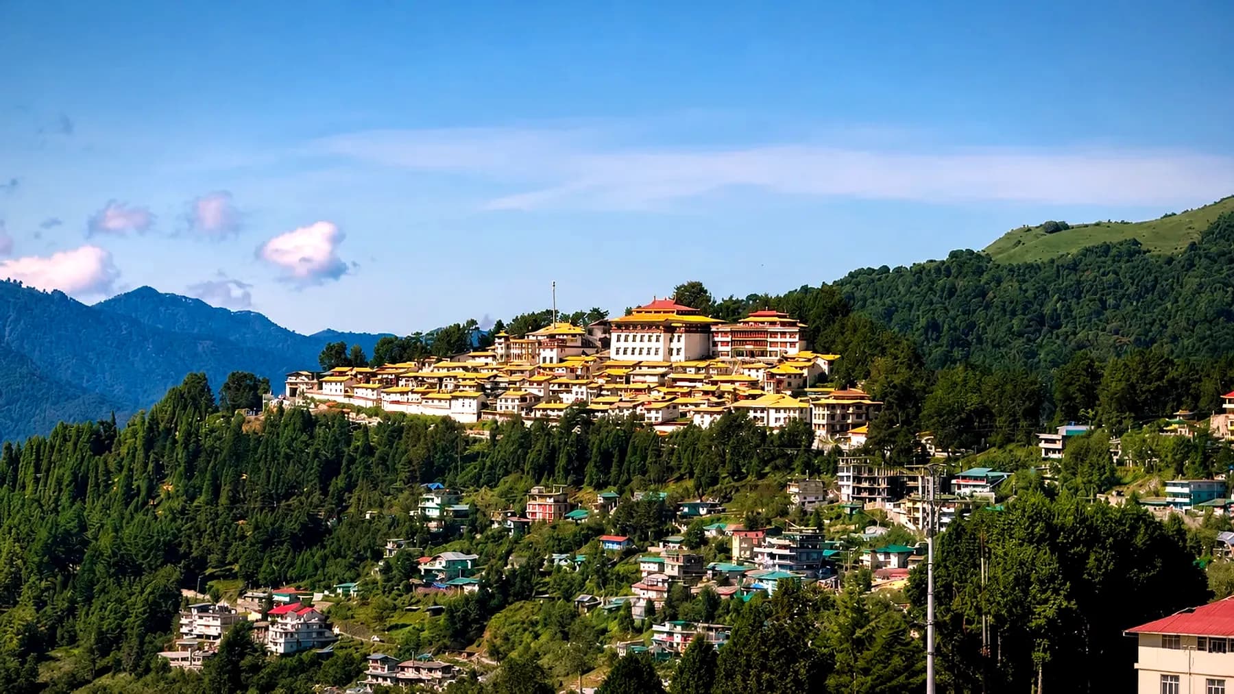
The monastery here was founded in the 1680s and remains the largest in India and the second largest in the world, holding an eight-metre gilded Buddha and a library of manuscripts. The town below it sits in a bowl of ridges that hold snow well into April.

Best for
Monasteries, high-altitude driving, the 1962 war history
When
March to June, September to November
Tawang Monastery's white and gold buildings spread along a forested ridge, with the town below and blue ranges behind
Tawang Monastery on its ridge above the town
02

Sela Pass

Between Dirang and Tawang · 4,170 m

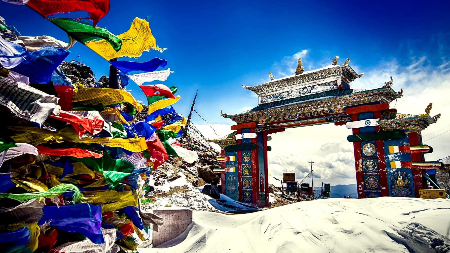
The only road crossing into Tawang, and one of the highest motorable passes in the country. Sela Lake sits frozen beside it for much of the winter. Jaswant Garh, the memorial to a soldier who held this ground alone in 1962, is a short drive below on the Tawang side.

Best for
The crossing itself, snow, high-altitude lakes
When
March to June, and October
The painted gate at Sela Pass standing in deep snow, with a mass of prayer flags strung across the foreground
The gate at the top of Sela, under snow
03

Bumla Pass

India–China border, north of Tawang · 4,633 m

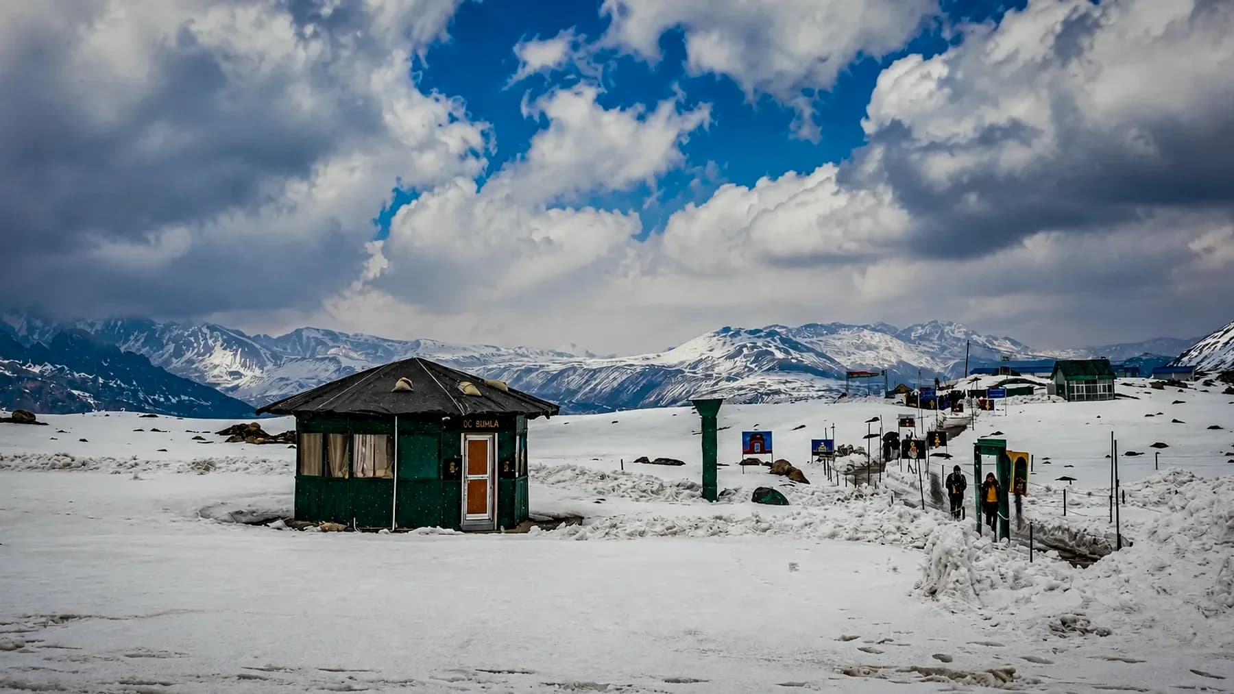
The highest point any of our routes reach. The road simply stops at the trijunction, where Indian and Chinese posts face each other across a line of stones. Sangetsar — usually called Madhuri Lake — lies on the same excursion.

Best for
The border, Sangetsar Lake, the drive up
When
May to October, subject to army clearance
A lone green post hut on a wide snowfield at Bumla, with snow ranges and a bank of cloud behind it
The post at Bumla, 4,633 m, where the road ends
04

Dirang

West Kameng · 1,560 m

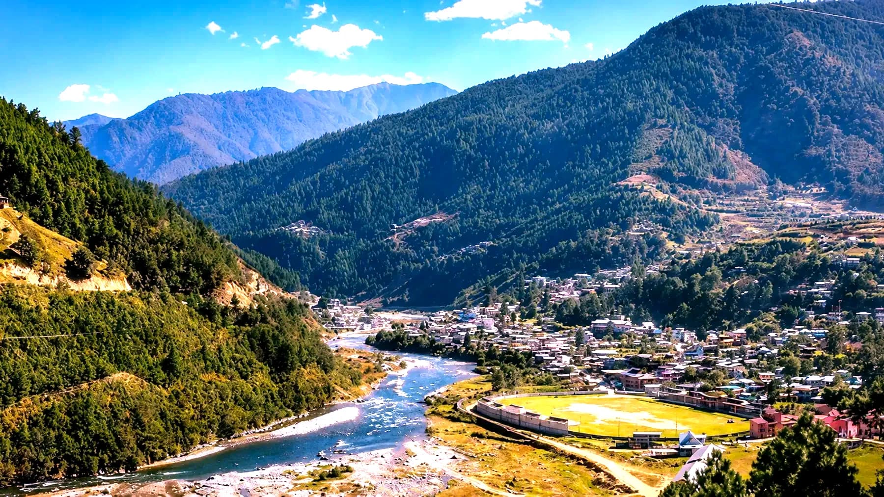
A valley town of apple orchards, kiwi vines and hot springs, with a 500-year-old dzong above the old settlement. Most Tawang itineraries stop here to break the climb, which is also the sensible way to handle the altitude.

Best for
Acclimatising, Sangti Valley, the old dzong
When
October to May
The Dirang valley with a river running through it, the town spread along the far bank below forested ridges
The Dirang valley, where most Tawang runs break the climb
05

Ziro

Lower Subansiri · 1,530 m

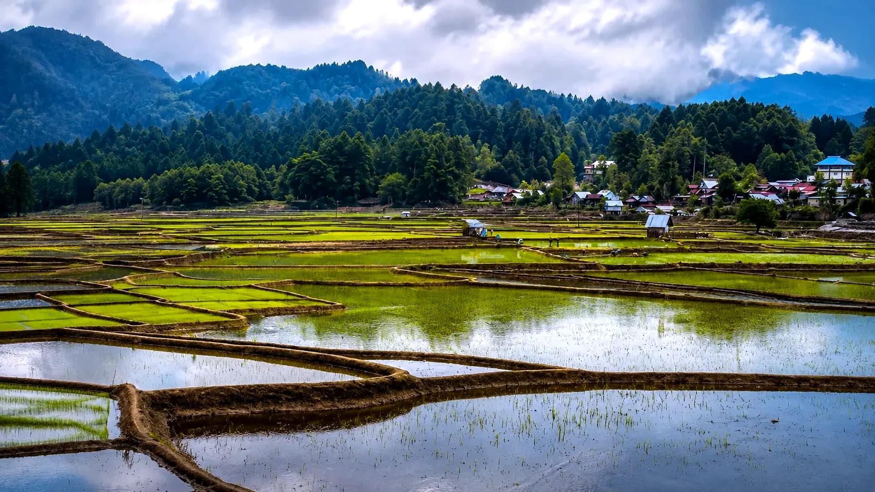
Home of the Apatani, whose paddy fields double as fish ponds — a system of wet cultivation found almost nowhere else and now on the UNESCO tentative list. The music festival in late September fills the valley for four days.

Best for
Apatani villages, the festival, bamboo groves
When
March to October; late September for the festival
Flooded Apatani paddy terraces at Ziro reflecting the sky, with the village and pine ridges beyond
Apatani paddy terraces at Ziro, flooded for the season

Further out

The places most itineraries skip

Longer drives, rougher road, fewer beds — and the reason people come back a second time.

01

Mechuka

Shi Yomi · 1,829 m

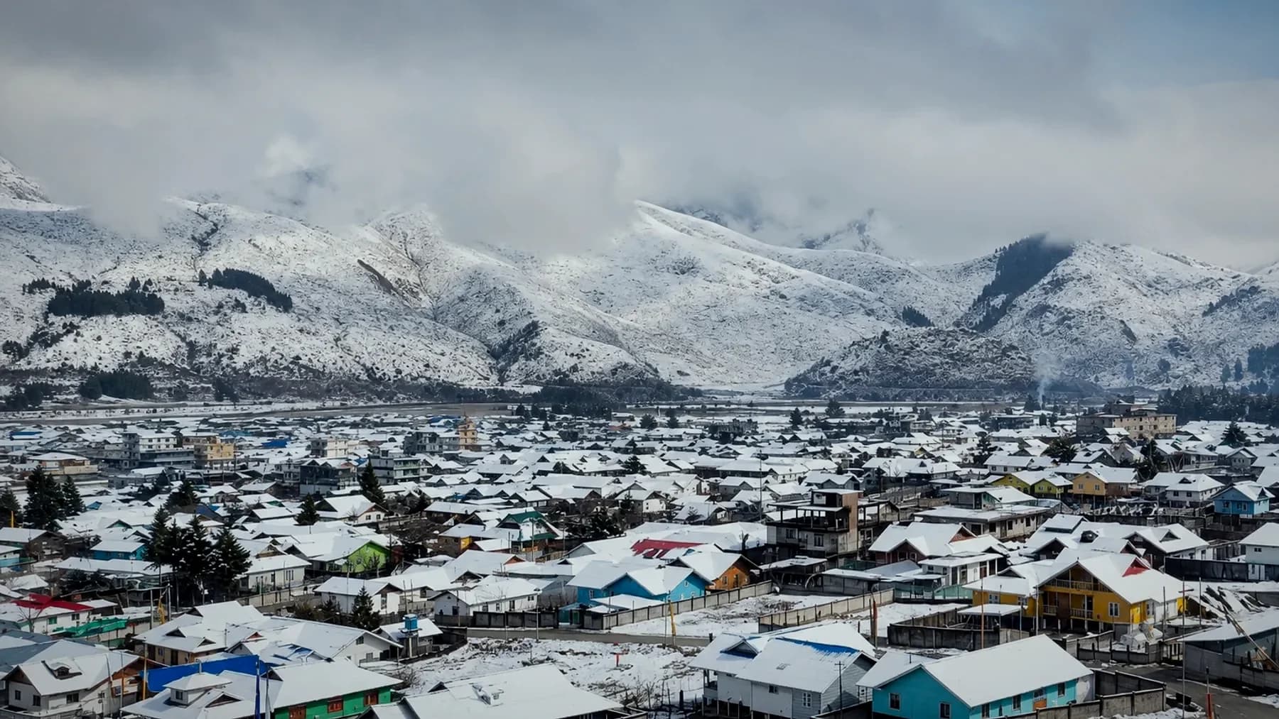
A wide glacial valley 29 km from the border, reached by two hard days on the Siang road. The Samten Yongcha monastery above the village is over 400 years old and belongs to the Memba, who came over the passes from Tibet.

Best for
Emptiness, Memba culture, the Yargyapchu river
When
October to April
The town of Mechuka under fresh snow, its coloured roofs spread across the valley floor below snow-covered ranges
Mechuka under snow, the ranges closing the valley behind
02

Anini

Dibang Valley · 1,968 m

The headquarters of India's least densely populated district. The road in climbs over Mayodia Pass, which holds snow from late December, and drops into Idu Mishmi country — a people with their own shamanic tradition and a distinctive backstrap weave.

Best for
Mayodia snow, Mehao Lake, Idu Mishmi weaving
When
October to April
A glacial river running pale blue through a green valley in Dibang, with a rock peak and cloud above the treeline
Glacial melt running through the Dibang valley
03

Dong

Anjaw · 1,240 m

The first place in India to see the sun. Getting there means following the Lohit upstream past Hayuliang to Walong, site of the 1962 battle, then walking up before dawn. Kibithu, a little further on, is the last village on the river.

Best for
First sunrise, the Lohit road, Walong
When
October to April
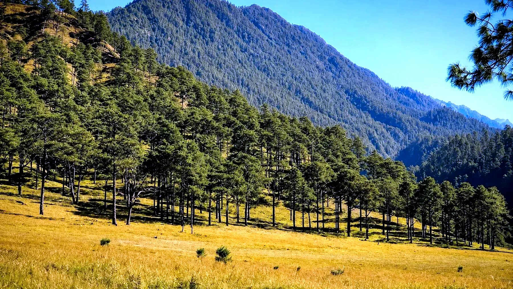
A line of pines running diagonally across a golden meadow in the Anjaw hills, with forested ridges rising behind
Pine and open grass on the climb above the Lohit
04

Talley Valley

Lower Subansiri, near Ziro · 2,400 m

A wildlife sanctuary of silver fir and dwarf bamboo above the Ziro plateau, reached on a day walk or an overnight camp. The forest holds clouded leopard and the Pinus merkusii stands that give the ridge its character.

Best for
A walk out of Ziro, orchids, old-growth forest
When
March to May, October to November
A shallow stream winding through open grass and dense forest on the Talley plateau above Ziro
The stream through Talley, above the Ziro plateau
05

Shergaon & Chug Valley

West Kameng · 1,900 m

Two quiet valleys on the western side of the Tawang road, worked by the Sherdukpen and Monpa. Apple and kiwi orchards, trout in the streams, and homestays that are still houses rather than hotels.

Best for
Homestays, orchards, slowing a Tawang route down
When
October to May
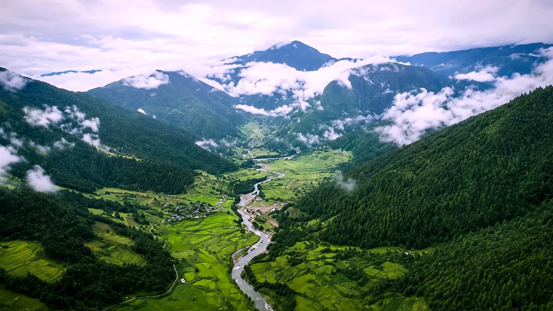
Chug Valley seen from above — a river threading terraced fields between forested slopes, with cloud sitting low against the ridges
Chug Valley from above, cloud low on the ridges

Start here

Building something around Arunachal Pradesh?