Ela Tripo - Offbeat on Point
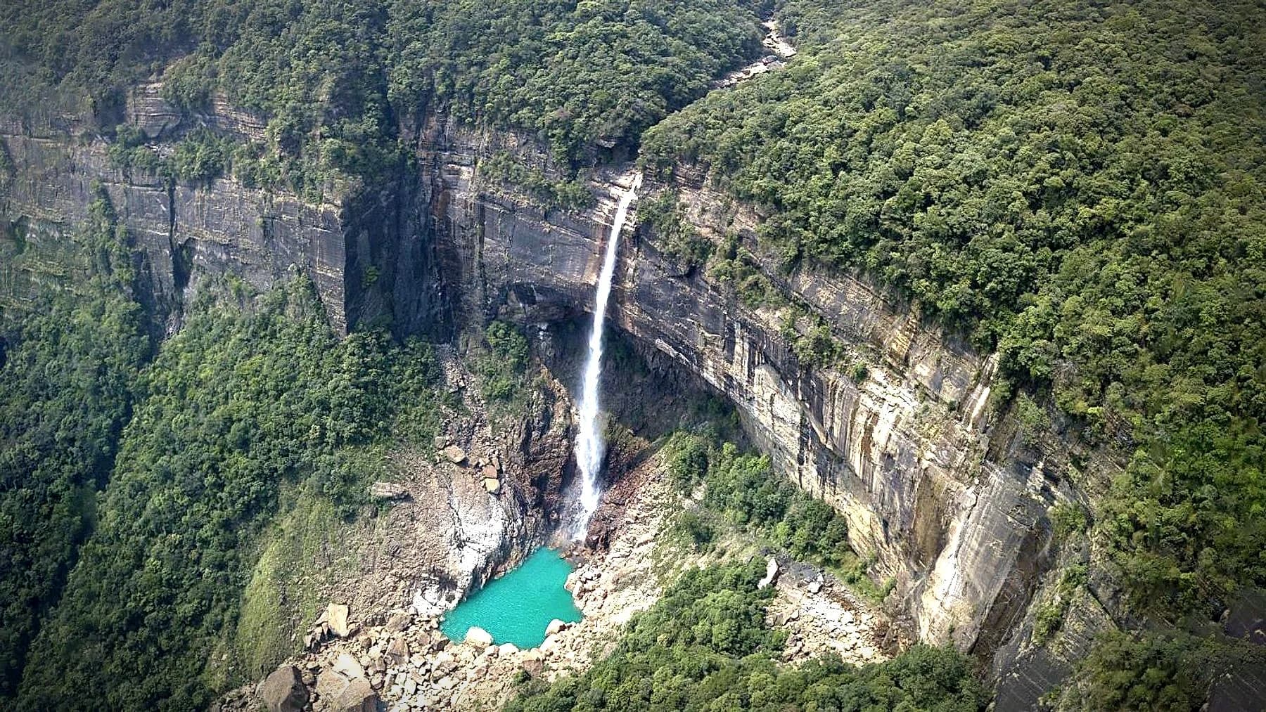
Nohkalikai Falls dropping into a turquoise plunge pool below forested cliffs, Meghalaya
All four states

Living root country

Meghalaya

Nohkalikai Falls near Sohra, Meghalaya

Season
October – April for clear water, June – September for full flow
Permits
None required
Highest point
1,830 m
Places in this guide
10

Living root country

Meghalaya sits on a plateau that rises straight out of the Bangladesh plain, and that single fact explains almost everything about it. Monsoon air comes off the Bay of Bengal, hits the escarpment, and drops its water — which is why Mawsynram and Sohra trade the title of wettest inhabited place on earth between them, and why the whole plateau is cut through with gorges, caves and falls.

The three hill peoples — Khasi, Jaintia and Garo — are matrilineal: property passes through the youngest daughter, and children take their mother's clan name. The living root bridges are the other thing the state is known for, and they are not a tourist construction. Khasi families have been training the aerial roots of the rubber fig across streams for generations, and a mature bridge grows stronger with age rather than weaker.

No permits are required anywhere in Meghalaya, and the roads are among the best in the region. It is the easiest state here to travel in, which makes it the usual first visit — and the reason we push most itineraries past Sohra and into the gorges, where the crowds thin out within an hour's walk.

The main stops

Where most journeys go

These are the places that carry a first visit. Well known for good reason, and every one of them worth the time.

01

Shillong

East Khasi Hills · 1,496 m

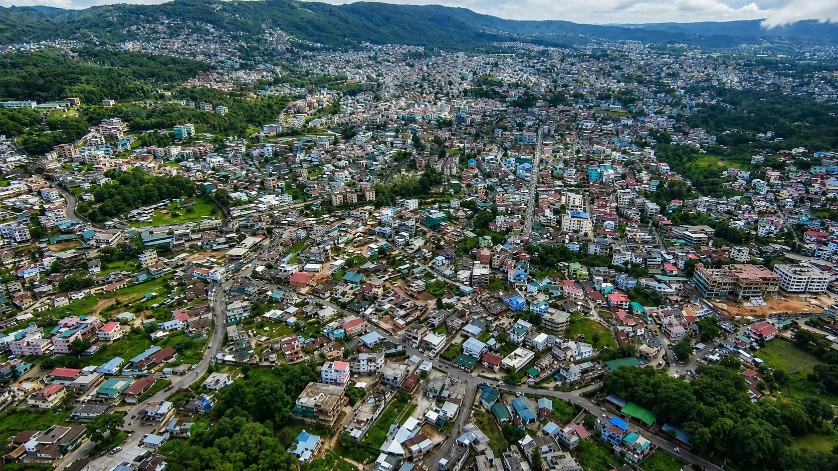
The state capital and the region's music town, where a café on Laitumkhrah is as likely to have a live set as a coffee menu. Ward's Lake and the Don Bosco museum sit in the centre; Umiam Lake spreads out on the drive in from Guwahati.

Best for
Cafés and live music, a base for the Khasi Hills
When
All year; October to April is clearest
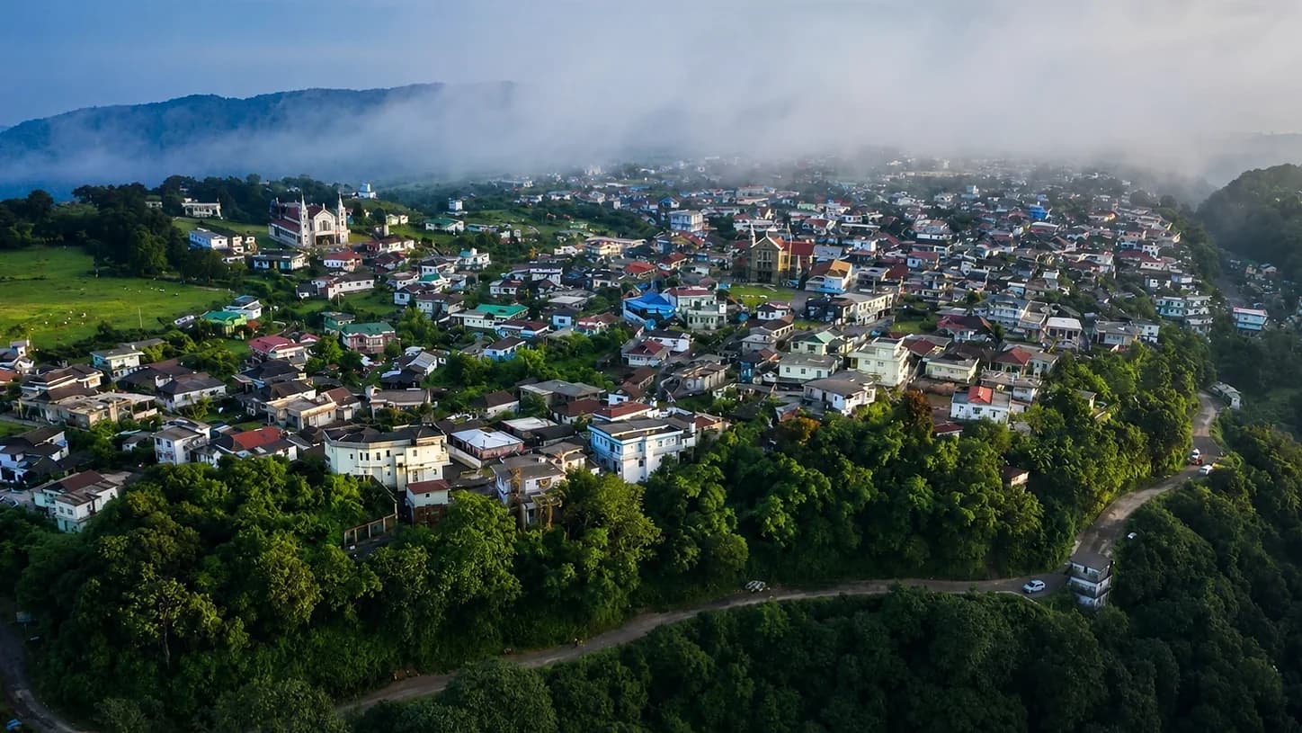
Shillong seen from the air, its coloured roofs packed across a bowl of green ridges with hills beyond
Shillong, spread across its hills
02

Sohra (Cherrapunji)

East Khasi Hills · 1,430 m

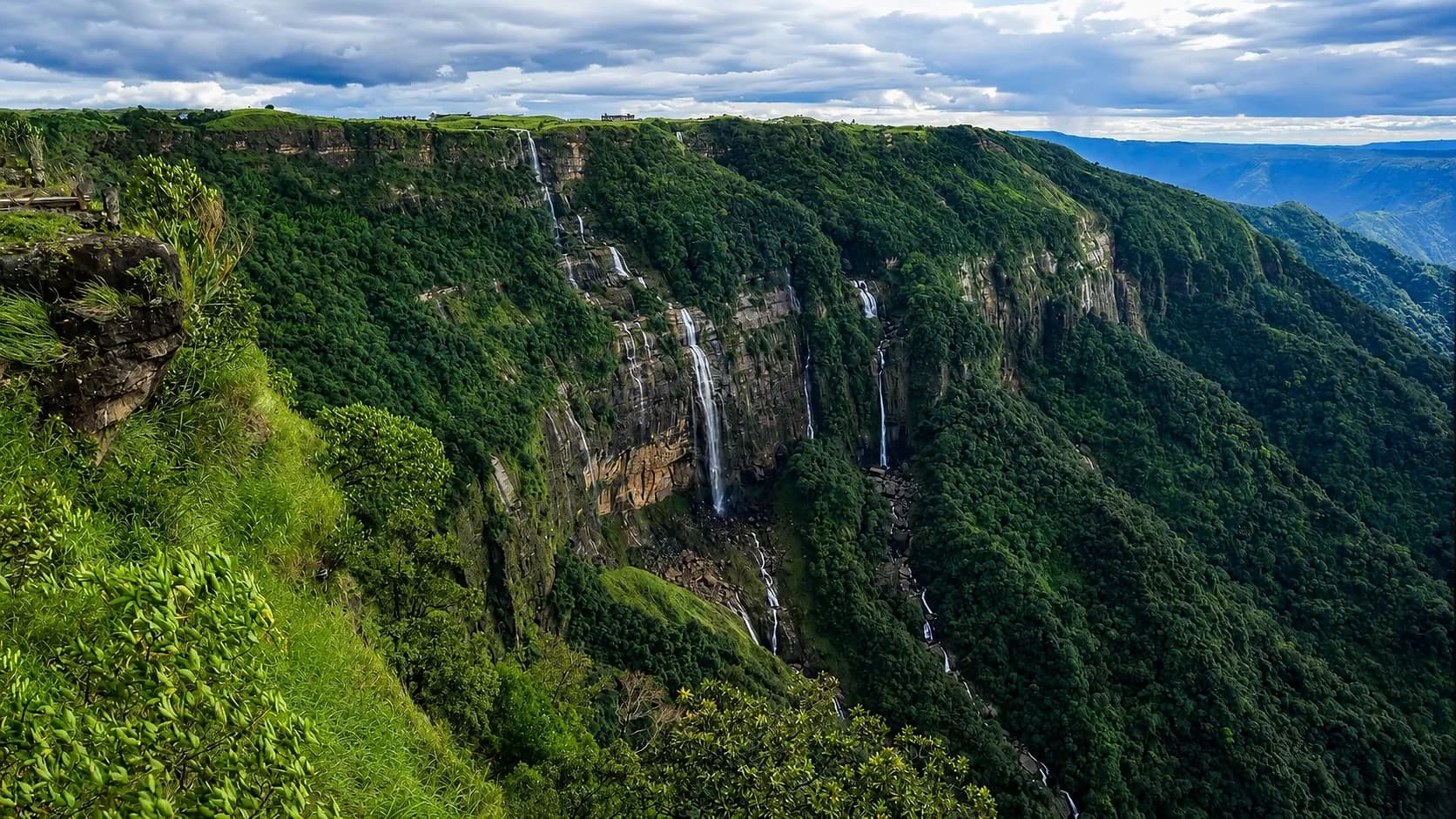
Nohkalikai drops 340 m in a single fall here, the tallest plunge waterfall in India, into a pool that turns turquoise once the silt settles. Mawsmai Cave and the Seven Sisters falls are within a short drive along the same escarpment.

Best for
Waterfalls, caves, the edge of the plateau
When
October to April for clarity, June to September for volume
Several waterfalls dropping together off a green plateau edge into a deep forested gorge under heavy cloud
The falls off the edge of the Sohra plateau
03

Dawki & the Umngot

West Jaintia Hills · 100 m

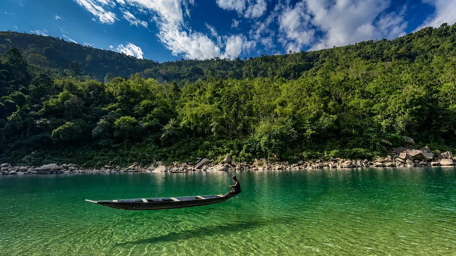
In the dry months the Umngot runs clear enough that a boat appears to float above its own shadow on the riverbed. The Bangladesh border is a few hundred metres downstream, and the plain beyond it opens out flat to the horizon.

Best for
Boating on clear water, the border viewpoint
When
November to March, when the river runs clear
A wooden boat on the Umngot at Dawki, the water so clear the riverbed shows through beneath it
A boat on the Umngot, the riverbed showing through
04

Mawlynnong

East Khasi Hills · 500 m

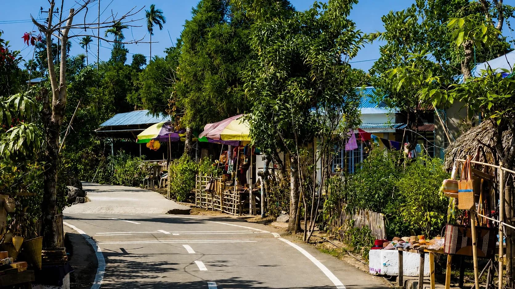
Widely billed as the cleanest village in Asia, and genuinely tidy — bamboo bins on every path and a community that maintains them. A single-decker living root bridge stands at Riwai, ten minutes away, for anyone not walking down to Nongriat.

Best for
A root bridge without the trek, village life
When
October to April
The village street at Mawlynnong, swept clean and lined with shaded stalls and cane baskets
The village street at Mawlynnong
05

Mawsynram

East Khasi Hills · 1,400 m

The wettest inhabited place on earth by annual rainfall, narrowly ahead of Sohra. Mawjymbuin cave holds a stalagmite shaped like a Shiva lingam, and the surrounding ridges disappear into cloud for much of the year.

Best for
Rain, caves, the drive from Shillong
When
October to April; June to September for the full monsoon
Mawsynram from above at first light, cloud rolling in off the ridge and settling over the rooftops
Cloud coming in over Mawsynram at first light

Further out

The places most itineraries skip

Longer drives, rougher road, fewer beds — and the reason people come back a second time.

01

Nongriat

Below Tyrna, East Khasi Hills · 600 m

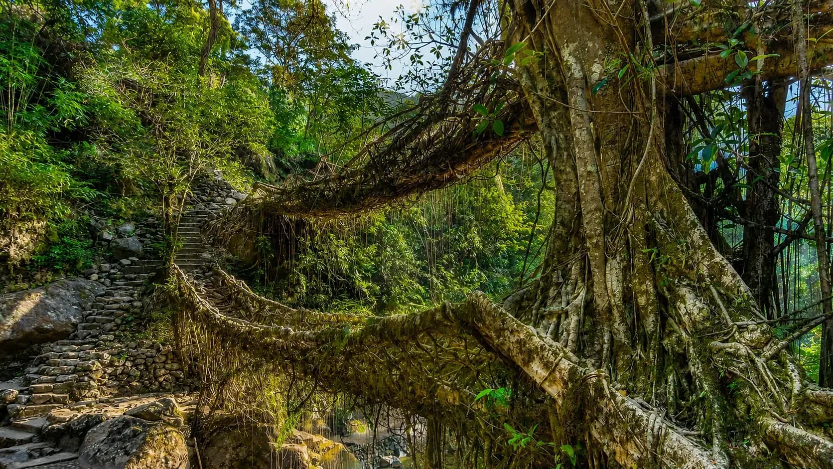
The Double Decker root bridge is roughly 3,500 steps down from Tyrna, and the same back up. Staying the night is what makes it worthwhile: Rainbow Falls is another hour beyond the bridge, and the day trippers are gone by four.

Best for
The double decker, Rainbow Falls, a night in the gorge
When
October to April
The double-decker living root bridge at Nongriat, two woven spans crossing the stream under dense forest
The double-decker root bridge at Nongriat
02

Mawphlang Sacred Grove

East Khasi Hills · 1,800 m

A forest the Khasi have protected for centuries under customary law — nothing may be removed from it, not even a fallen leaf. Monoliths stand at the entrance where clan rituals were held. Go with a local guide; the forest is dense with meaning that is invisible otherwise.

Best for
Khasi belief, old forest, monoliths
When
October to April
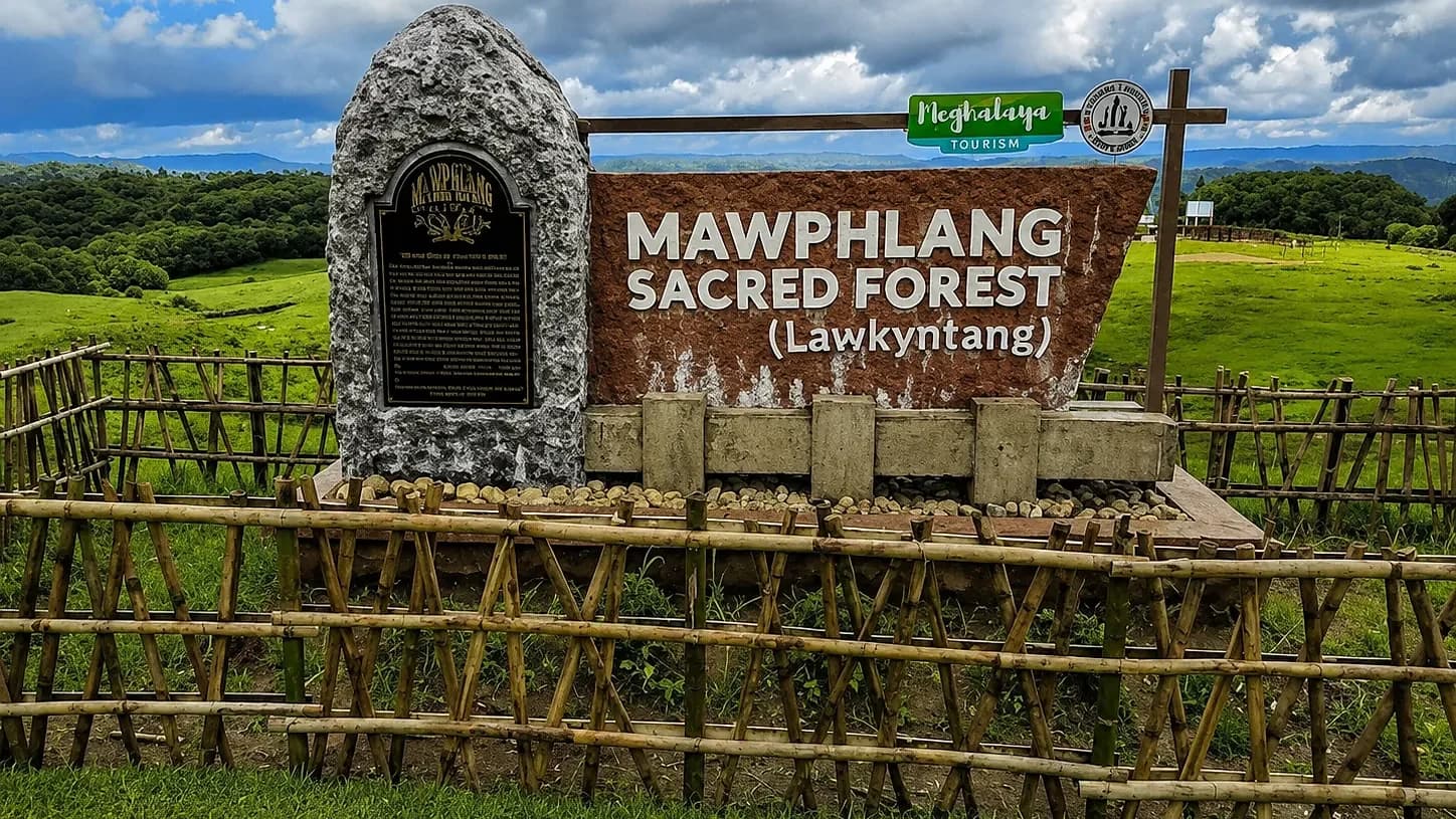
The stone marker and sign at the entrance to the Mawphlang sacred forest, open grassland rolling away behind it
The entrance to the Lawkyntang grove at Mawphlang
03

Krangsuri Falls

West Jaintia Hills, near Amlarem · 700 m

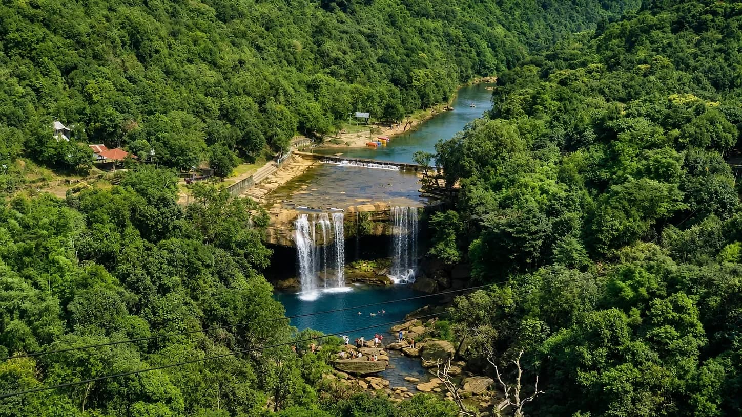
A broad fall into a pool the colour of jade, with a viewing deck and a swimming area below. It sees a fraction of the traffic Sohra does, and the Jaintia Hills drive out to it is worth the detour on its own.

Best for
Swimming, the Jaintia Hills
When
October to April
Krangsuri Falls dropping in several strands into a blue pool, forested slopes closing in on both sides
Krangsuri, falling into its blue pool
04

Shnongpdeng

West Jaintia Hills, upstream of Dawki · 90 m

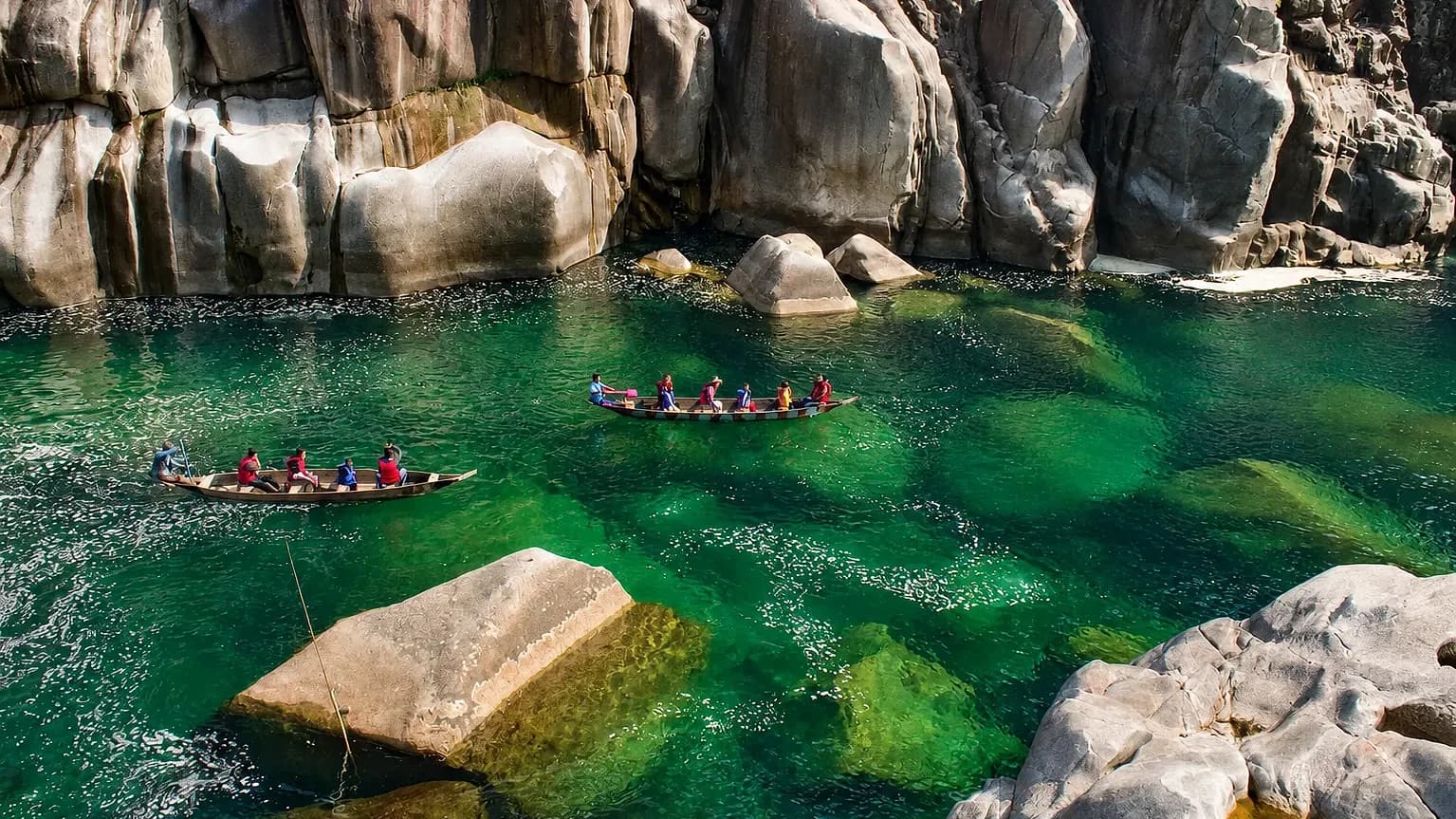
The same clear river as Dawki with tents on the bank instead of a queue at the jetty. Kayaking, snorkelling, cliff jumping and zip lines are all run by the community, and the night sky over the gorge is worth staying up for.

Best for
Riverside camping, water activities
When
November to March
Two boats of paddlers in life jackets on clear green water at Shnongpdeng, pale boulders rising around them
Boats on the clear water at Shnongpdeng
05

Laitlum Canyon

East Khasi Hills, near Smit · 1,800 m

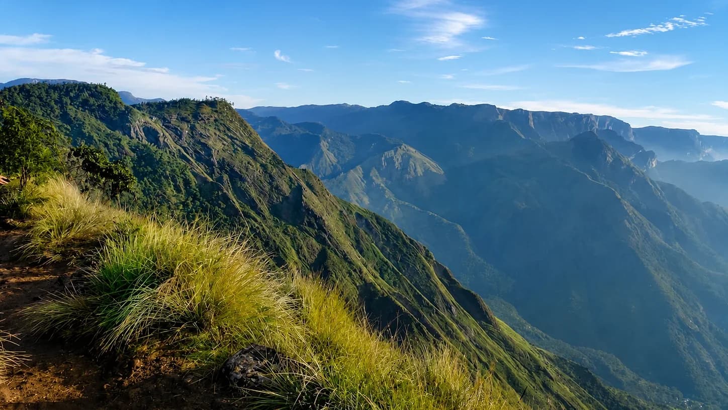
A grassland shoulder that ends abruptly in a canyon, forty minutes from Shillong and best at first light before the cloud fills in. A stone stairway runs down the cliff to the village of Rasong, which has no road of its own.

Best for
Sunrise, a short walk with a long view
When
October to April
The grass ridge at Laitlum falling away into a deep canyon, ranges receding into haze beyond
The edge at Laitlum, where the ridge drops away

Start here

Building something around Meghalaya?