Ela Tripo - Offbeat on Point
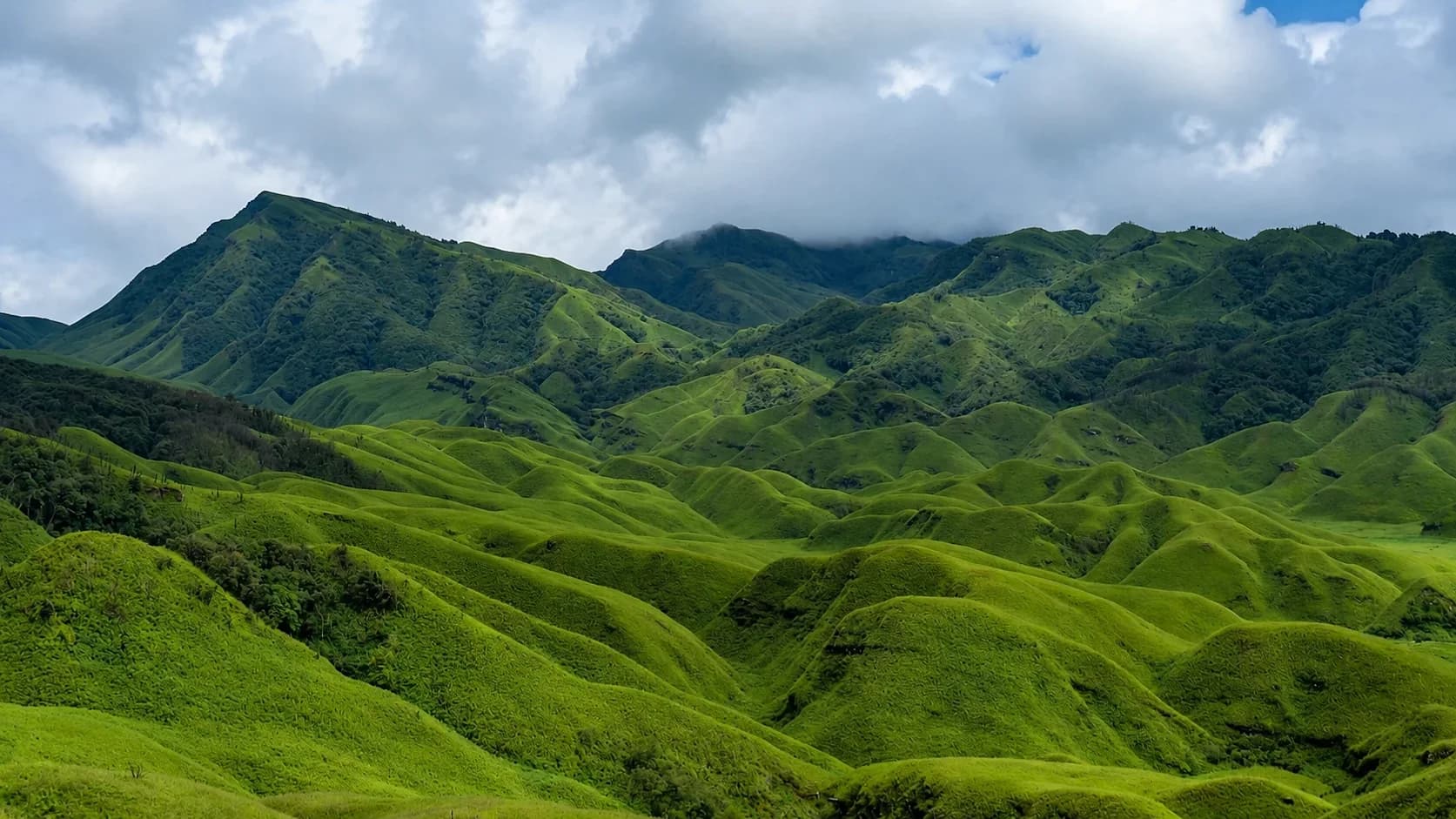
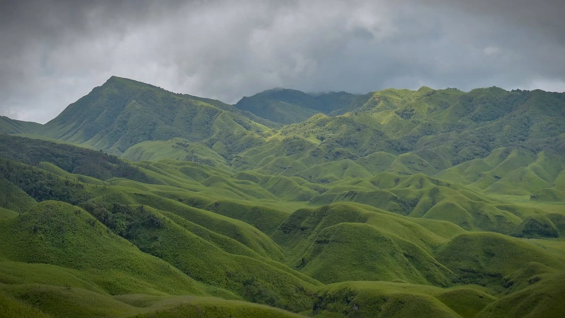
The rolling green hills of the Dzukou Valley under low cloud, Nagaland
All four states

Seventeen tribes, one week

Nagaland

The Dzukou Valley south of Kohima, Nagaland

Season
December for Hornbill; October – April otherwise
Permits
Inner Line Permit
Highest point
2,452 m
Places in this guide
10

Seventeen tribes, one week

Nagaland is sixteen recognised tribes and a good many more sub-groups, each with its own language, dress and body of custom, sharing hills that run down to the Myanmar border. English is the official language largely because no single Naga language could serve as one, and Nagamese — a creole grown out of Assamese — is what people actually use between tribes.

For ten days each December the whole of it gathers at Kisama outside Kohima for the Hornbill Festival: log drums, wrestling, chilli-eating, and morungs staffed by each tribe in turn. It is the easiest possible introduction and also the least private one. The rest of the year, Khonoma and Mokokchung and the Dzukou valley are quiet enough that you will sometimes have them to yourself.

The history here is heavier than the brochures allow. Kohima was the eastern limit of the Japanese advance in 1944, and the battle fought on the Deputy Commissioner's tennis court was among the most brutal of the war. The cemetery on Garrison Hill is worth an hour on its own. An Inner Line Permit is required for the whole state.

The main stops

Where most journeys go

These are the places that carry a first visit. Well known for good reason, and every one of them worth the time.

01

Kohima

Kohima district · 1,444 m

The state capital, built along a ridge, and the site of the 1944 battle that turned the Japanese advance into India. The War Cemetery on Garrison Hill carries the epitaph that begins 'When you go home, tell them of us' — it is the quietest place in the city.

Best for
The War Cemetery, the state museum, a festival base
When
October to April; December for Hornbill
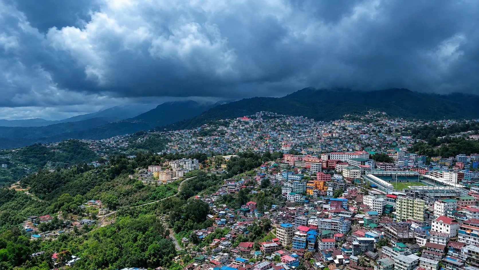
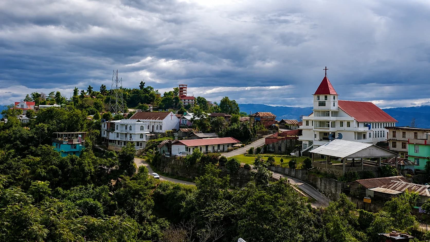
Kohima's coloured rooftops packed across a ridge under heavy monsoon cloud, forested ranges beyond
Kohima on its ridge, under monsoon cloud
02

Kisama Heritage Village

12 km from Kohima · 1,500 m

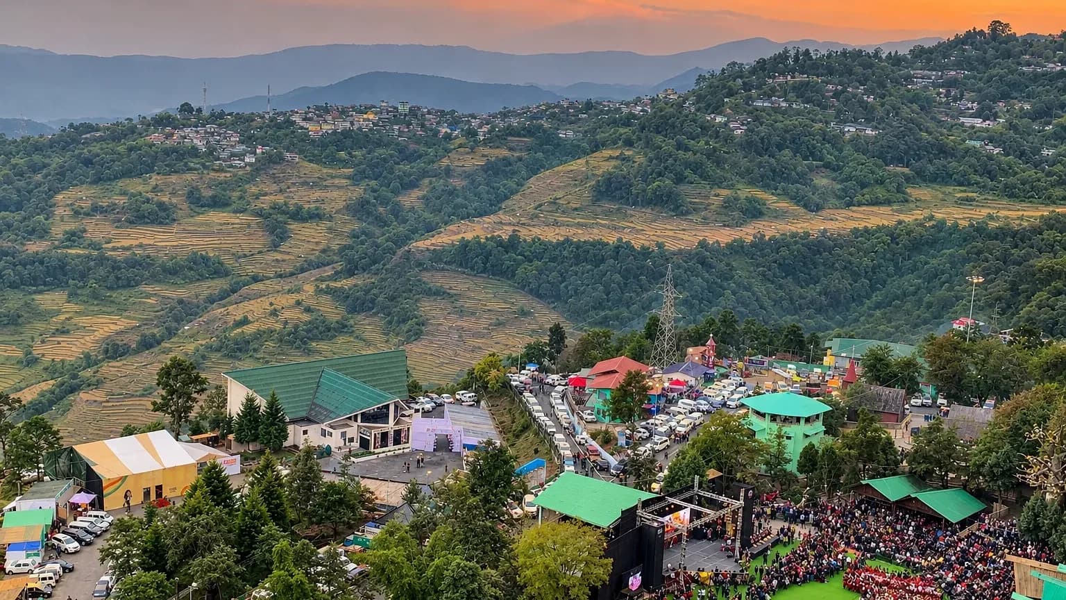
A permanent ground of morungs — the traditional bachelors' dormitories — one for each recognised Naga tribe, each staffed by that tribe during the Hornbill Festival from 1 to 10 December. Outside those ten days it is quiet and can be walked in an hour.

Best for
Hornbill Festival, tribal architecture
When
1–10 December for the festival
The Kisama arena at dusk with a crowd gathered before the stage, terraced hillsides catching the last light
The arena at Kisama, at dusk
03

Dimapur

Dimapur district · 145 m

The commercial centre and the state's only airport and railhead, on the plain below the hills. The Kachari ruins on its edge — carved monoliths from a kingdom that predates the Naga settlements here — are usually passed without a stop, which is a mistake.

Best for
Arriving, Kachari ruins, markets
When
October to April
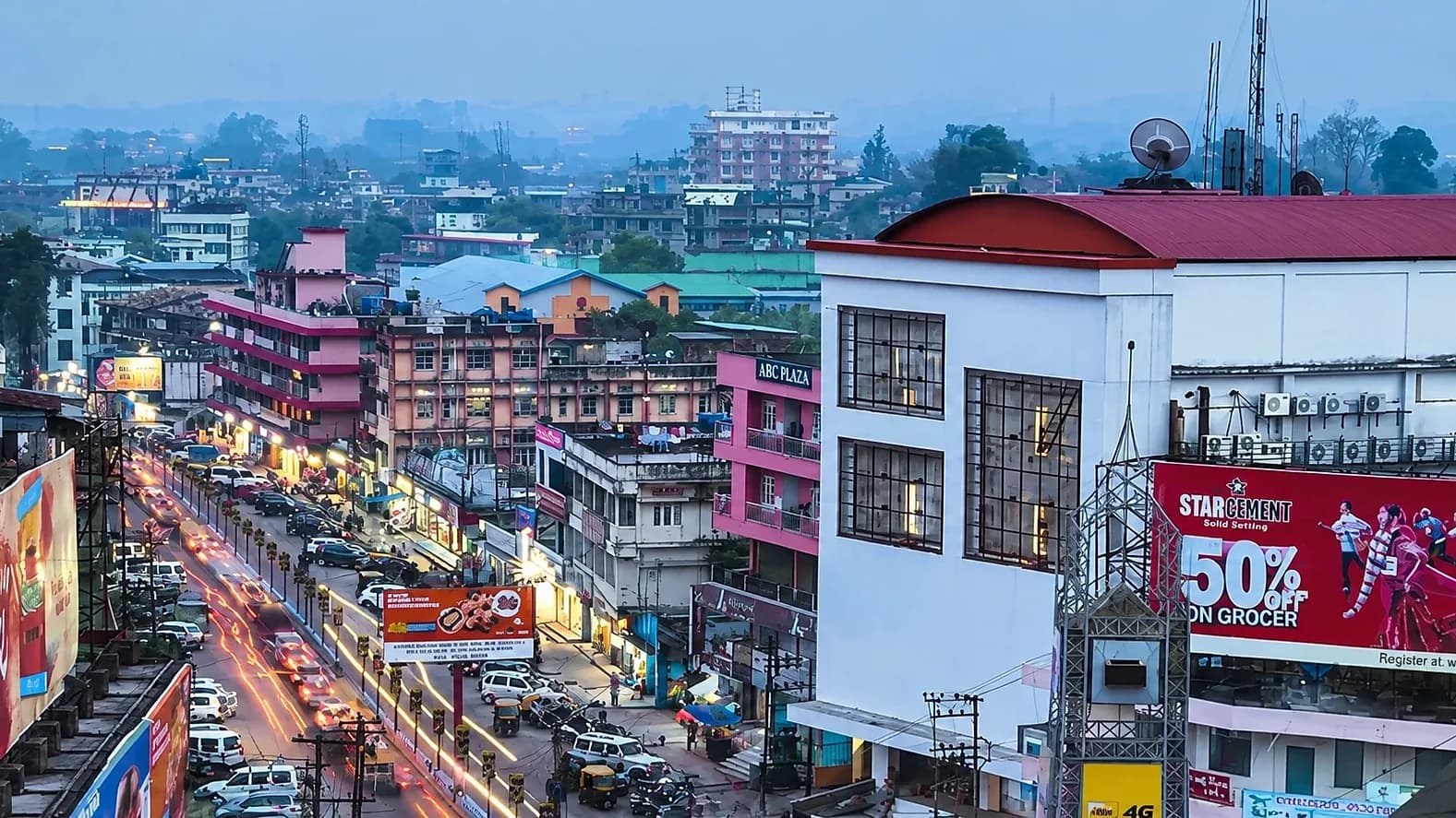
A busy Dimapur street at blue hour, headlights streaking past lit shopfronts and hoardings
Dimapur at blue hour
04

Khonoma

20 km west of Kohima · 1,500 m

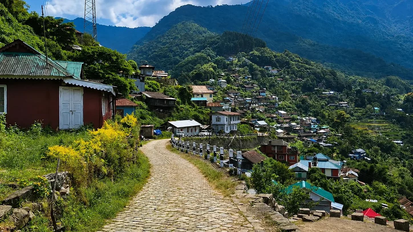
An Angami village that resisted the British through three sieges and then, more recently, banned hunting and logging across its forest — the reason it is called Asia's first green village. Its terraced rice fields step down the valley in more than twenty varieties.

Best for
Angami history, terraced fields, conservation
When
October to April
The stone-paved road into Khonoma, tin roofs stepping down the hillside and terraces beyond
The stone road into Khonoma
05

Mokokchung

Mokokchung district · 1,325 m

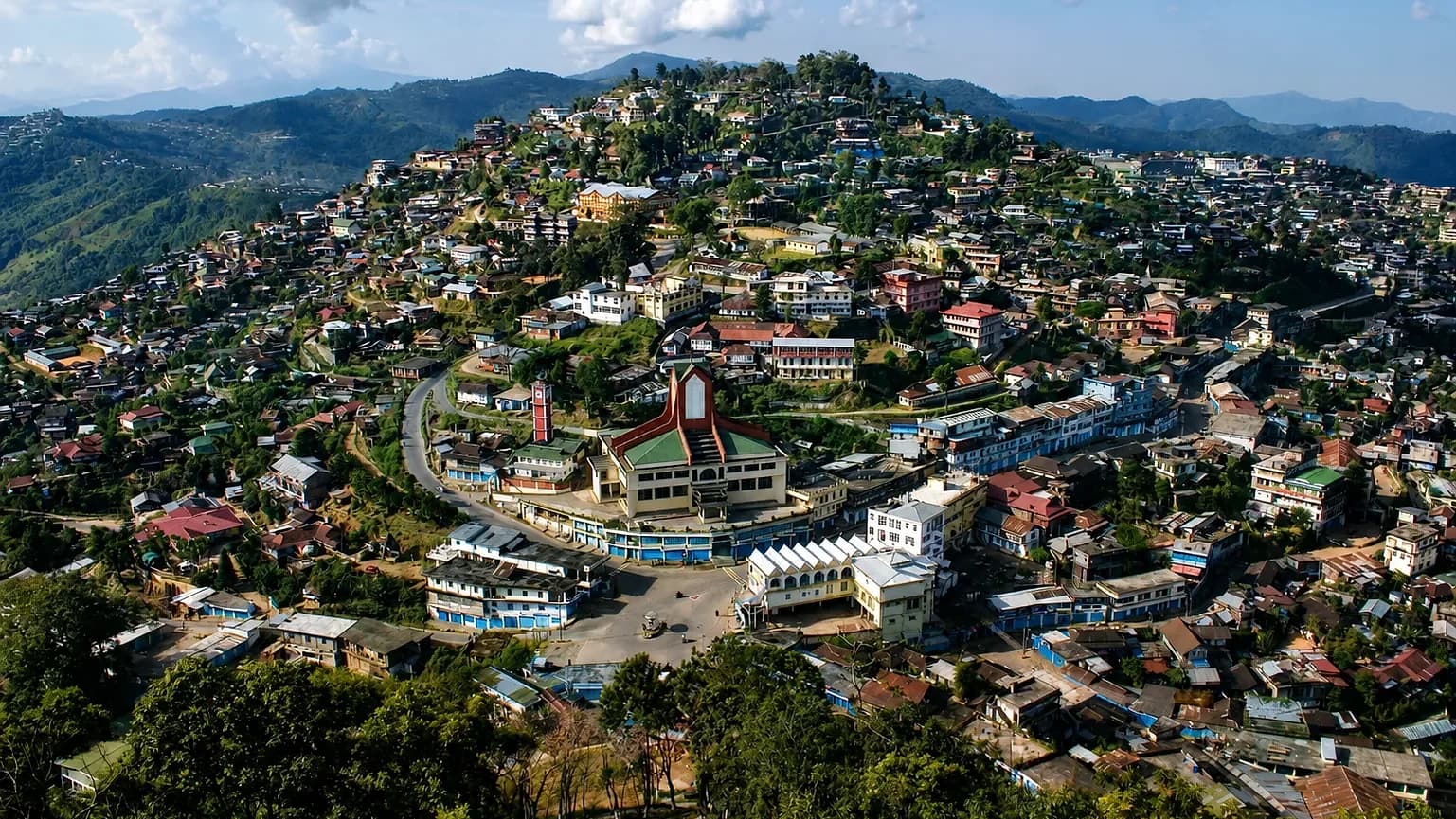
The cultural centre of the Ao, and one of the liveliest towns in the state. Longkhum and Ungma nearby are among the oldest Ao villages, with the log drums and carved house fronts that mark seniority.

Best for
Ao culture, old villages, Tsüngremmong in August
When
October to April
Mokokchung spread along its ridge in afternoon light, the church at the centre of the town
Mokokchung along its ridge

Further out

The places most itineraries skip

Longer drives, rougher road, fewer beds — and the reason people come back a second time.

01

Dzukou Valley

On the Manipur boundary, south of Kohima · 2,452 m

A valley of rolling dwarf bamboo that looks mown from a distance and is knee-deep once you are in it. The trek from Viswema takes three to four hours; the Dzukou lily, which grows wild nowhere else, flowers from June to September.

Best for
Trekking, the lily season, camping
When
October to May; June to September for the lily
The Dzukou Valley under cloud, its floor rolling away in smooth green humps to a ridge beyond
The rolling floor of the Dzukou Valley
02

Mon & Longwa

Mon district, on the Myanmar border · 900 m

Konyak country, where the last generation of tattooed former headhunters is now very old. The chief's house at Longwa straddles the international boundary — he eats in India and sleeps in Myanmar, as the saying goes — and the village looks down into both.

Best for
Konyak culture, Longwa, Aoleang in April
When
October to April; early April for Aoleang
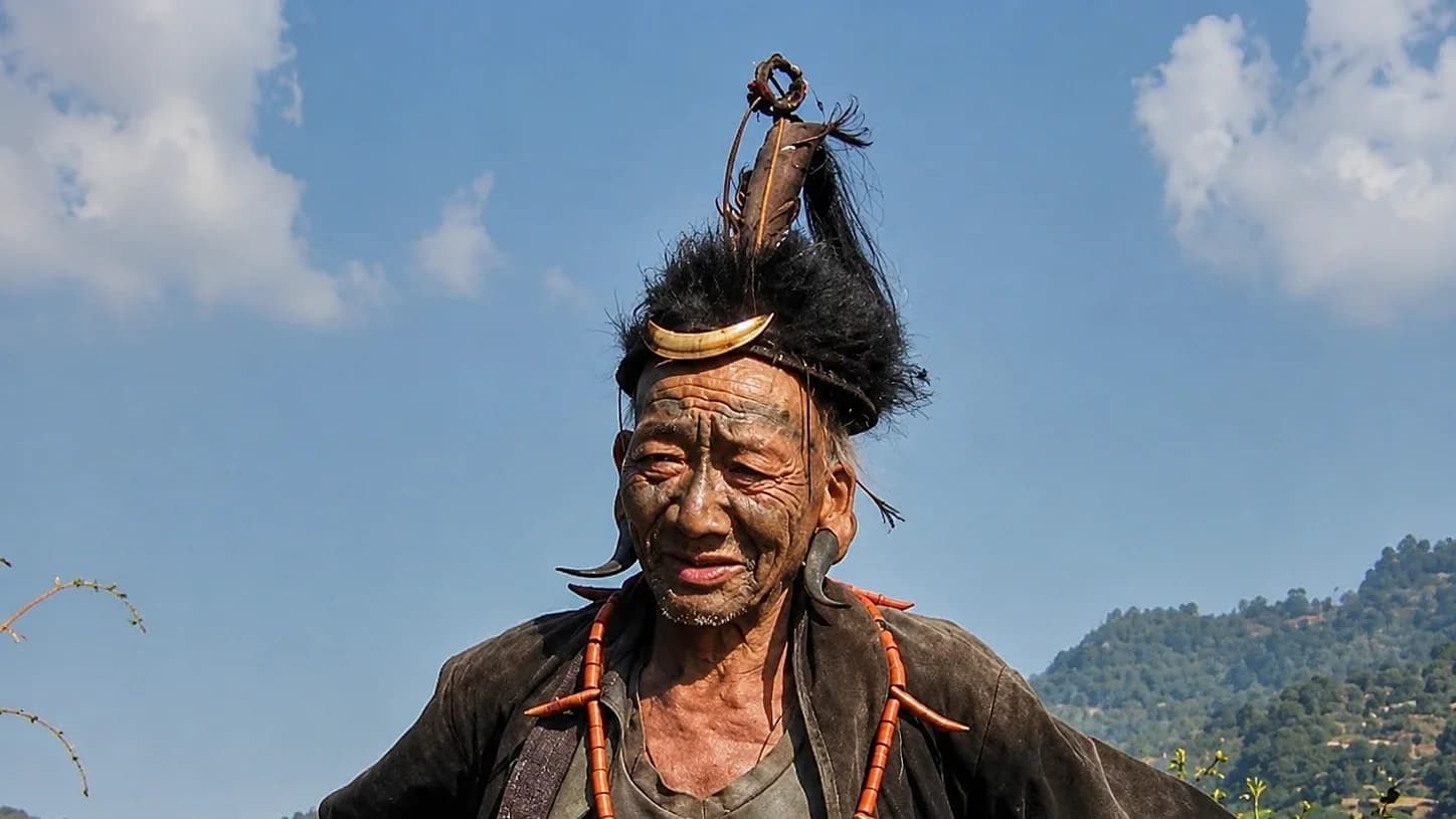
A Konyak elder at Longwa in a feathered headdress and beaded necklace, hills behind him
A Konyak elder at Longwa
03

Tuophema

41 km north of Kohima · 1,400 m

A community-owned tourist village where the lodging is built and run by the village itself and the revenue stays there. Traditional Angami houses, a working morung, and rice beer served the way it is meant to be.

Best for
Community homestay, Sekrenyi in February
When
October to April
The village at Tuophema along its ridge, a red-roofed church standing above the houses under heavy cloud
The village at Tuophema
04

Japfü Peak

South of Kohima · 3,048 m

The second-highest peak in Nagaland, and home to what is recorded as the world's tallest rhododendron tree. The climb is steep rather than technical, and the view at dawn runs across the Dzukou valley to the Barail range.

Best for
A hard day walk, rhododendrons in spring
When
October to May; March to April for flowers
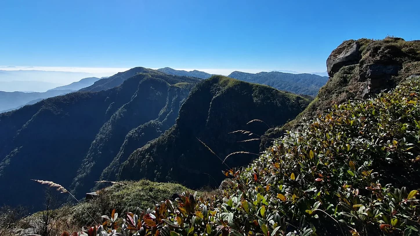
The view from the Japfü ridge, ranges receding into haze with rhododendron scrub in the foreground
The ranges from Japfü
05

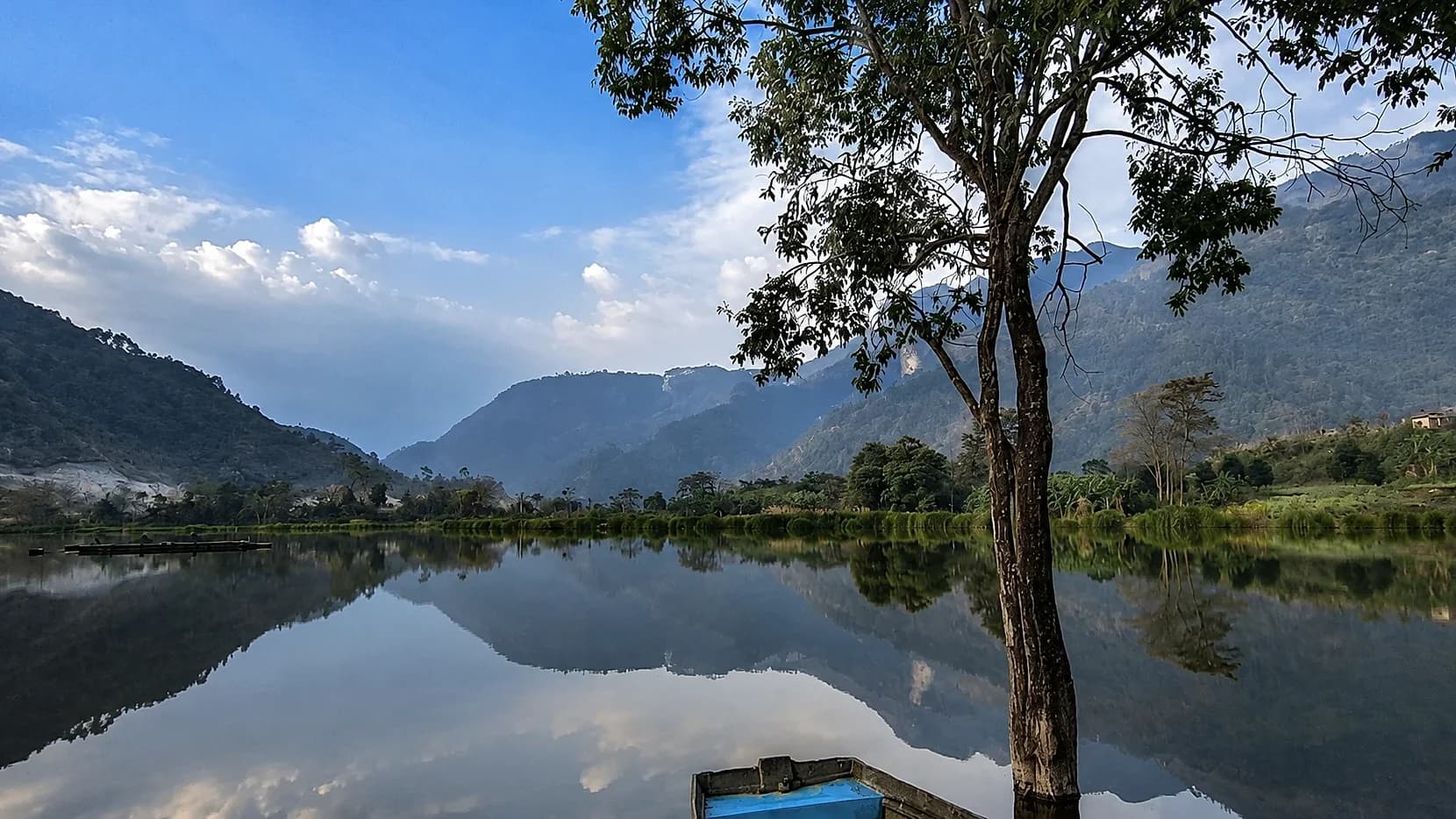
Shilloi Lake

Phek district · 1,500 m

A foot-shaped lake in the hills near the Myanmar border, held sacred by the Pochury who keep fishing to a customary limit. Getting there is a long drive on rough road, which is exactly why almost nobody does it.

Best for
Solitude, Pochury villages
When
October to April
Shilloi Lake lying mirror-still under forested hills, a bare tree and the prow of a boat in the foreground
Shilloi Lake, mirror-still

Routes through Nagaland

Journeys that come this way

  1. Hornbill Festival TourNagaland · Kohima5 days

Start here

Building something around Nagaland?